
Tioga Road is a scenic drive through Yosemite's High Country which offers several vista points, waterfalls, lakes, hiking opportunities as well as the unforgettable Tuolumne Meadows. It is a great escape from the crowds of the valley and is usually open from June through September. The drive also takes you to some of the last great undeveloped land of the west.

#358 Big Sur

Highway 1 through Big Sur is known as the 'Most Beautiful Drive in the World'. This 90 mile stretch from San Simeon to Carmel is 'The Greatest Meeting of Land and Sea' on Earth. The Santa Lucia Mountains drop majestically to the ocean creating a dramatic rocky coast. Vista points at each bend provide stunning overlooks to get out and enjoy the view. Drive slow and spend the day admiring one of California's great wild places.


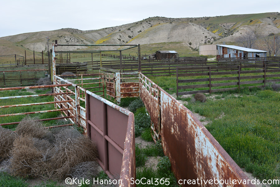
#351 Hudson Ranch Road

Hudson Ranch Road is a scenic drive through Los Padres National Forest from Highway 33 to Frazier Park. Sweeping views of the Central Valley, Carrizo Plain National Monument, San Emigdio Mountains and the Chumash Wilderness are revealed at each bend. Visit in the Spring for dramatic green hills covered in wildflowers.

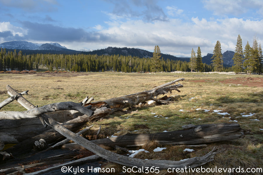
#346 Tuolumne Meadows

Tuolumne Meadows is the serene and stunningly beautiful alpine meadow of Yosemite's High Country. At 8,600 feet, it can be reached by the scenic Tioga Road in the summertime where the Tuolumne River flows among draping peaks. The meadows mark the northern border of the largest stretch of road-less wilderness in the continental United States allowing you to escape in solitude.
#328 Caspers Wilderness Park

Caspers Wilderness Park is the largest and most beautiful park in Orange County with 8,000 acres of wilderness. Sandstone canyons, coast live oak trees, river valleys and wildflowers on the edge of the Santa Ana Mountains come together to create a stunning landscape. Juaneño Native Americans lived in Villages here for thousands of years and lived off the land.


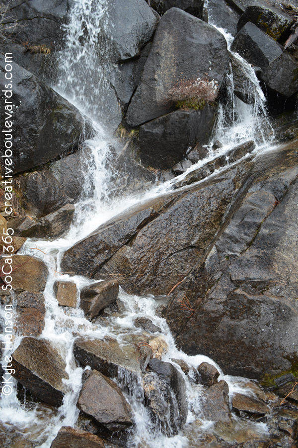
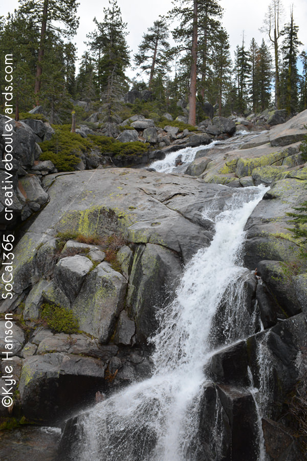
#322 Kings Canyon Scenic Byway

Kings Canyon Scenic Byway (Highway 180) travels from Giant Sequoia Groves down into the heart of the Sierra Nevada Wilderness. The canyon is the deepest in North America and will keep you on your toes as you make the mountain-hugging descent. Stop at Junction View for a stunning panoramic vista. Once in the canyon, the drive follows the impressive Kings River, several waterfalls and lush forest surrounded by towering granite peaks.


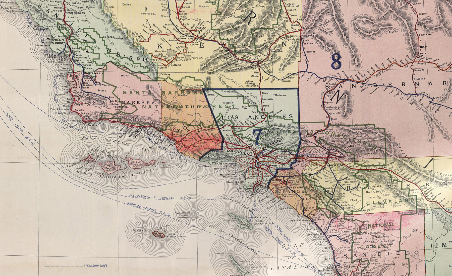
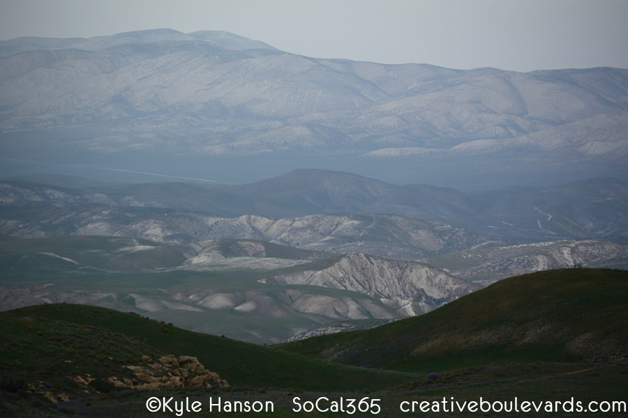
#308 Carrizo Plain National Monument

Carrizo Plain National Monument is a true wilderness experience in California's Great Central Valley. More than 200,000 acres of untouched beauty reveal what the entire valley looked like long before development. Beautiful grassland plains hug rolling hills blanketed by a rainbow of wildflowers in the Spring. The San Andreas Fault cuts right through the plain giving it a rich geological history. Native Chumash considered the plain sacred and inhabited the area for at least 4,000 years.
Today, this is the only original California grassland strand remaining. The highest concentration of endangered species in the state reside here including the tule elk, pronghorn, San Joaquin kit fox & antelope squirrel, blunt-nosed leopard lizard, giant kangaroo rat as well as the California condor. Managed by the Bureau of Land Management as opposed to the National Park Service, the plain is continuously in a controversial debate over grazing, solar power and oil drilling rights. One visit will have you one the side for preservation.
*Access is dirt road only, 4 wheel drive strongly recommended

#299 Jacinto Reyes National Scenic Byway
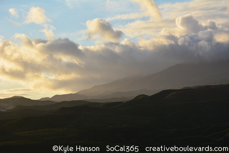
Jacinto Reyes is a 36 mile National Scenic Byway in Ventura County. The scenic route, also known as Highway 33, winds through beautiful mountain canyons of Los Padres National Forest and offers stunning vista points along the way. Four National Wilderness areas can be accessed here for those seeking solitude. Come for the day and stay for the sunsets.
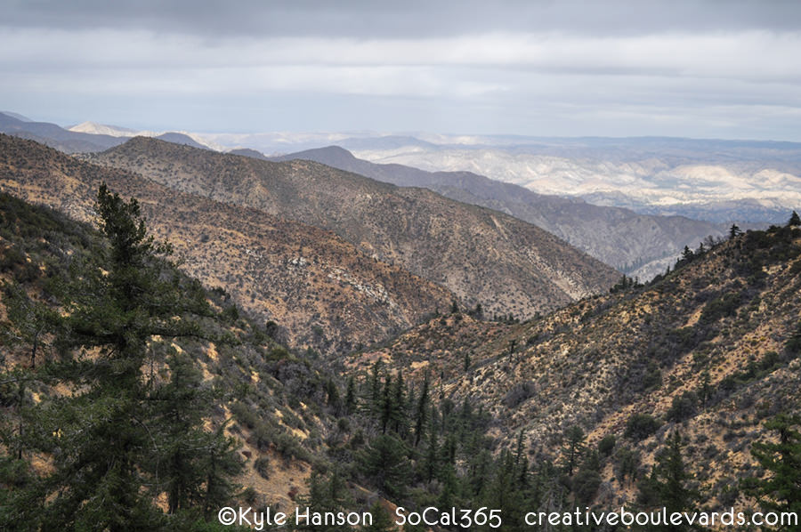

#291 San Gabriel Mountains National Monument
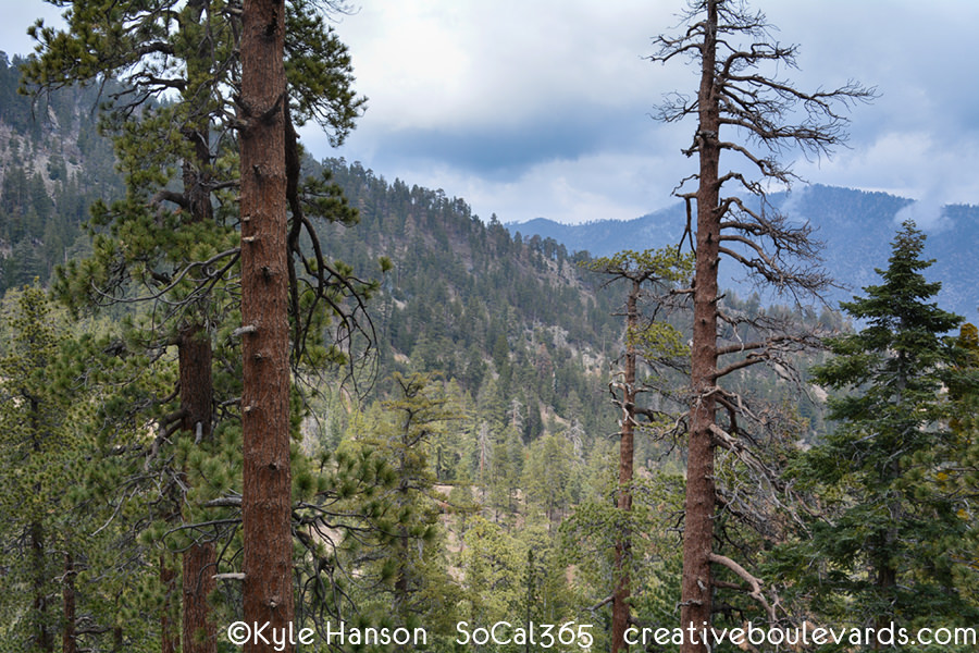
San Gabriel Mountains National Monument was created on October 10th, 2014 to protect 346,177 acres of pristine wilderness above Los Angeles. More than 15 million people are within a 90 mile radius of the monument, but a visit will feel uncrowded with 4 designated wilderness areas. 300 species of plants and animals are found here and nowhere else on Earth making it a rich biodiversity zone. The San Gabriel Mountains provide Los Angeles with 70% of its wild space and 30% of its drinking water. Native American history here dates 8,000 years.


#279 Mount San Jacinto State Park

Mount San Jacinto State Park is the crown jewel above Palm Springs. Reached by the Palm Springs Aerial Tramway, this alpine park provides stunning views of forested rocky peaks that drop to the Coachella Valley below along the Desert View Trail. Mount San Jacinto soars at 10,834 feet and is the second highest peak in Southern California. With most of the park designated wilderness, modern life will fade away as you enjoy the splendor of the wild.


